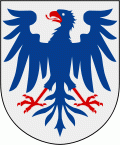
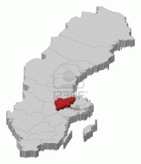
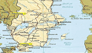
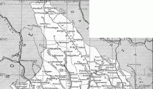
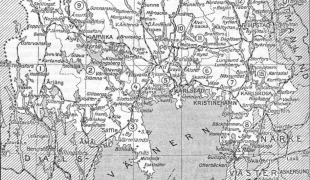
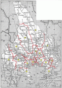
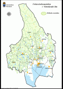
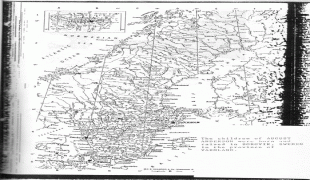
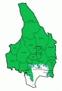
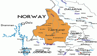
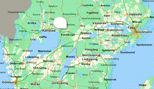
Värmland also known as Wermeland, is a landskap (historical province) in west-central Sweden. It borders Västergötland, Dalsland, Dalarna, Västmanland, and Närke, and is bounded by Norway in the west. Latin name versions are Varmelandia, Vermelandia, Wermelandia, Værmalandia, Værmolandia, Virmolandia and Vermillandia.
Some of the Latinised forms show the origin of the name to come from the large local lake by the name of Värmeln (from older *Virmil); others from the river name *Værma, the main outlet of that lake. The province was originally part of Götaland, and became part of Svealand in 1815.
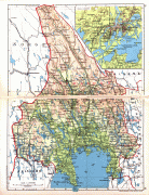
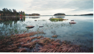
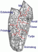
The largest lake is Vänern. Most streams of importance lead to Vänern. However, the province is rich in small lakes, ponds and streams. The scenery, with mountains and lakes, is usually regarded as picturesque and has inspired painters and writers.